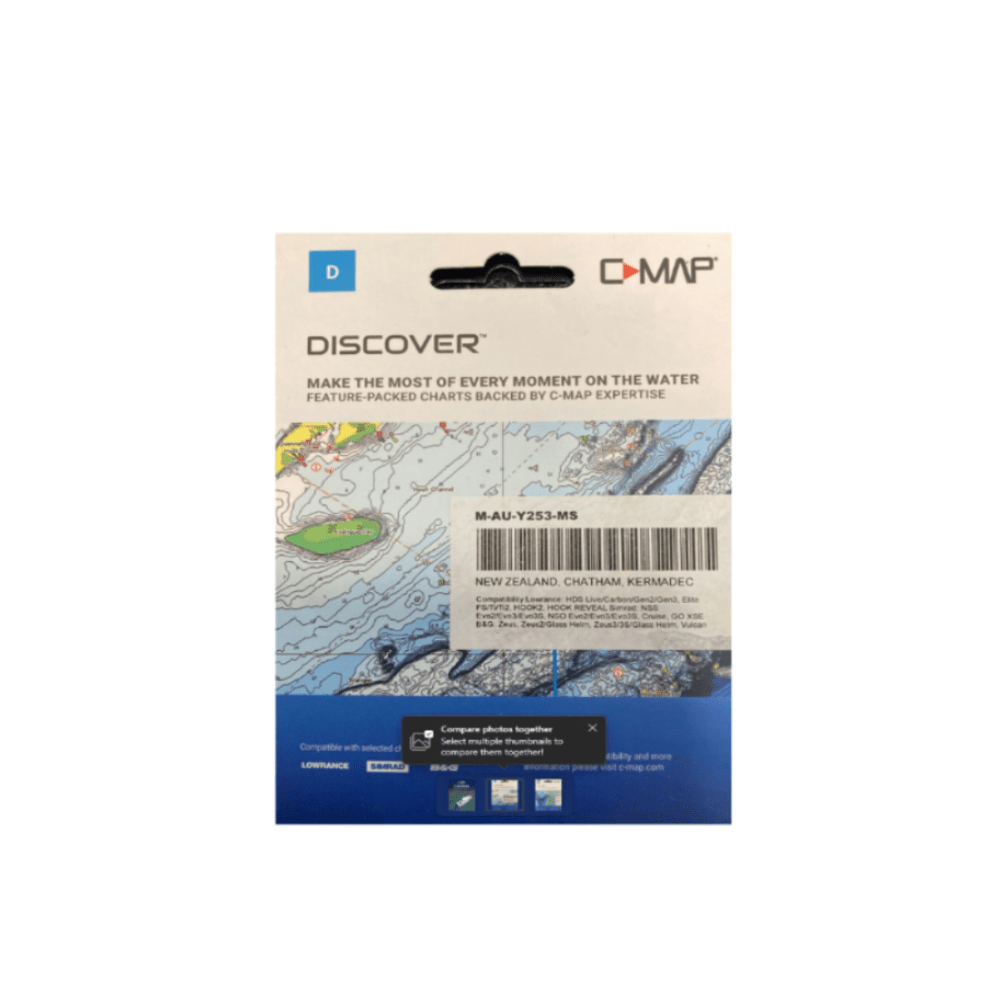
C-MAP Discover NZ
DISCOVER all you need to make the most of your time on the water. Full-featured Vector Charts with High-Res Bathy, including integrated Genesis® social data, subscription-free Easy Routing™ and Custom Depth Shading. See things your way with C-MAP.
C-MAP Discover NZ Features:
- Full-Featured Vector charts make navigation easy by giving you accurate, up-to-date vector chart detail derived from official Hydrographic Office information.
- High-Res Bathymetry (HRB) Layer helps you identify shallow areas, drop offs, ledges, holes or humps by accurate contour lines down to 1-foot level of detail. Includes the very best of C-MAP HRB data, including C-MAP Team Lake Surveys (US only) and Genesis® social maps, quality controlled and fully integrated.
- Custom Depth Shading allows you to set a safety depth, maintain a paper-like view or set your own custom shading – see things your way.
- Easy Routing helps you automatically plot the shortest, safest route based on detailed chart data and your personalized vessel information. With C-MAP Easy Routing is always subscription free.
- Tides & Currents show projections of water level and direction of tides to help plan your day out, whether cruiting, angling or sailing.
- Docking in an unfamiliar port is no problem, when you have precise layouts of thousands of marinas, including slip spaces, restricted areas, and other valuable navigation information.